|
Where: Mullwarchar Range or Dungeon
Range from Loch Doon, Ayrshire
When: July 21st 2012
Who: I Parker
Why: Toughest looking hills in southern
Scotland
Weather: Partial Cloud
Height: 2,270ft / 692m
Distance: About 12 miles, 10 hours
Loch Doon is 3 miles east of the town of
Dalmellington, 18 miles east of
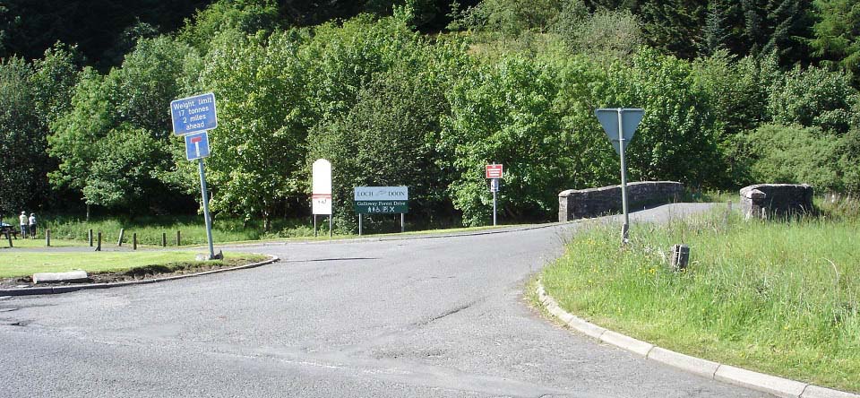
Ayr. The car park, as seen below, is just
over 1 mile east of Dalmellington next to
the road signed A713 to Castle Douglas
& Dumfries. From here, it is about two
miles to Loch Doon Dam, about seven miles
to Loch Doon Castle on the far southwest
side of the loch.
The area has a popular riverside walk
and four hill ranges with hills from 1,500
ft to 2,766 ft. Five hills are above 2,500
feet, known as Corbetts.
This page gives information on the rocky
Mullwarchar Range, or sometimes referred to
as the Dungeon Range, directly south of
Loch Doon. This range runs from the south
side of Loch Doon to the east side of Loch
Trool. To hike the whole range, you need to
get dropped off at the south side of Loch
Doon and get picked up at the Bruce's Stone
car park at Loch Trool. Loch Doon
Map .
Wide Image of
the Ranges
|
|
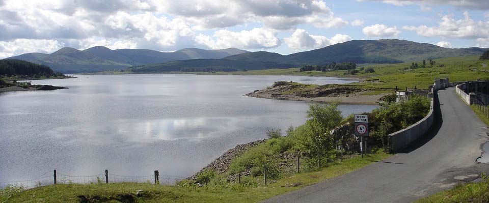
About two miles from the car park you
reach Loch Doon Dam. The Dam was built in
1935 for generating hydro-electricity. This
is the largest inland loch in Southern
Scotland, about 7 miles long. There is a
Cafe at the Dam that is open most days.
|
|
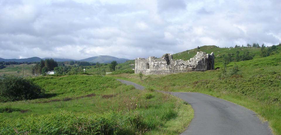
Close to the south side of Loch Doon you
will pass Loch Doon Castle..
|
|
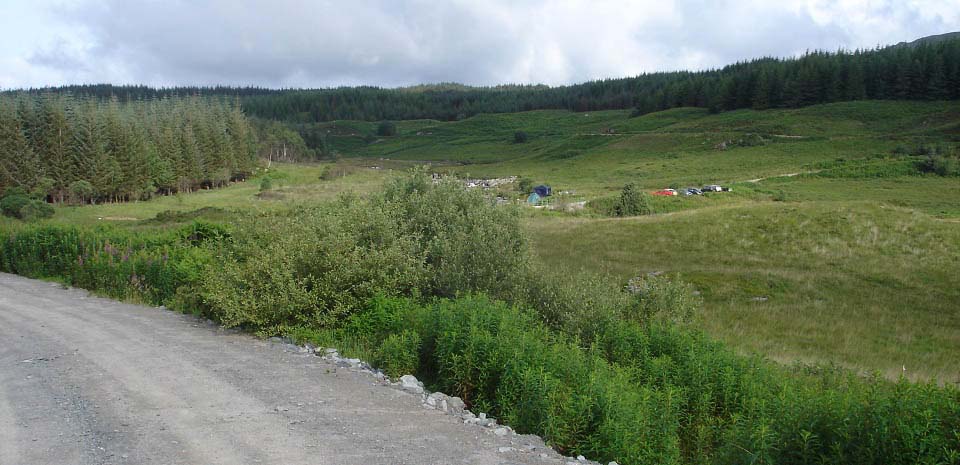
Below is a view looking back at the car
park at the south side of Loch Doon from
the road round to the hills. This is a
poular camping spot so one of the car parks
may be full, but there is another car park
50 yards up the road next to the Forest
Drive road round to Loch Riecawr, Tunskeen
Bothy, Merrick Range and the Stinchar
Bridge.
|
|
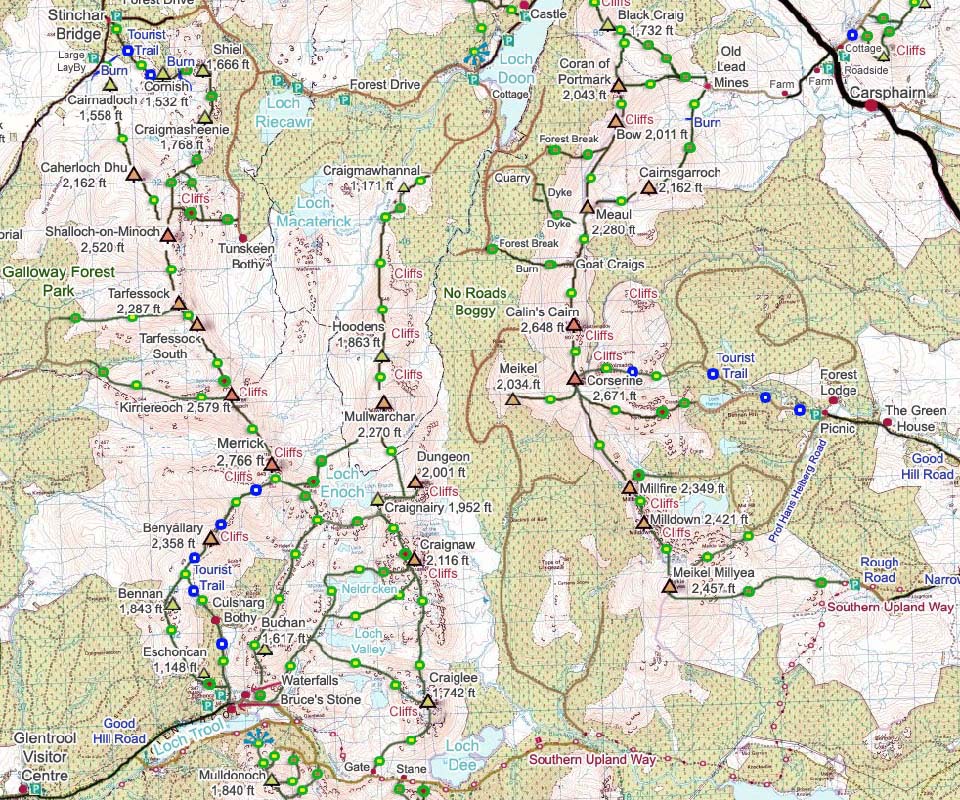
The map below shows the route from the
car park at the south side of Loch Doon to
the Mullwarchar Range. There is a new
forest road that leads off south of the
main forest road just past the old Cottage.
This road leads round to Cragmawhannal Hill
where they have just cleared an area of
forest.
The Mullwarchar Range is in the middle
of two higher ranges, the Corserine range
to the east, and the Merrick range to the
west.
From the car park at the south of Loch
Doon, it is about a two mile walk/cycle
round to the first hill named
Craigmawhannal.
Large Wide
Image of the Three Ranges.
Larger
Map
|
|
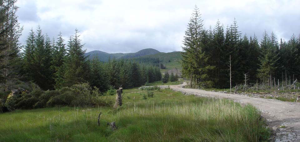
The view below shows the new forest road
leading to the bottom of the 1,171ft
Craigmawhannal, a small hill you have to
cross to get to the Mullwarchar Range, as
seen in the distance.
|
|
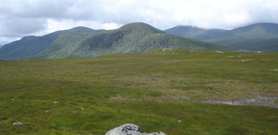
The top of Craigmawhannal gives the
first clear view of the Mullwarchar Range.
Although the highest hill on this range is
Mullwarchar at only 2,270ft, there are a
number of high cliffs all along the east
side that make this one of the most
dangerous ranges in southern Scotland. The
granite cliffs of up to about 1,000 ft
along the east sides of these hills, have
attracted rock climbers for many years.
It is best to hike this range in good
visibility as not only do you want to avoid
the cliffs, picking your way over these
hills is a good challenge trying to avoid
descending into deep gullies, and looking
for ways around areas that can only be
crossed with a bit of rock climbing. There
are places along this range, in good
visibility, where you begin to think there
may be no way to hike across, but there is
always a way.
Crossing the flat top of Cragmawhannal
looks wet, but is actually not bad walking
following quad bike tracks. You can also
follow a track arond this hill.
|
|
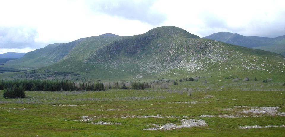
Between here and the trees is a quad
bike track that runs across to Hoodans Hill
on the Mullwarchar Range. Best try and
avoid the small amount of cleared woodland
on this south side by hiking to the left in
this image to the quad track. The quad
track across between these hills is a bit
soggy in places, but nothing too bad.
|
|
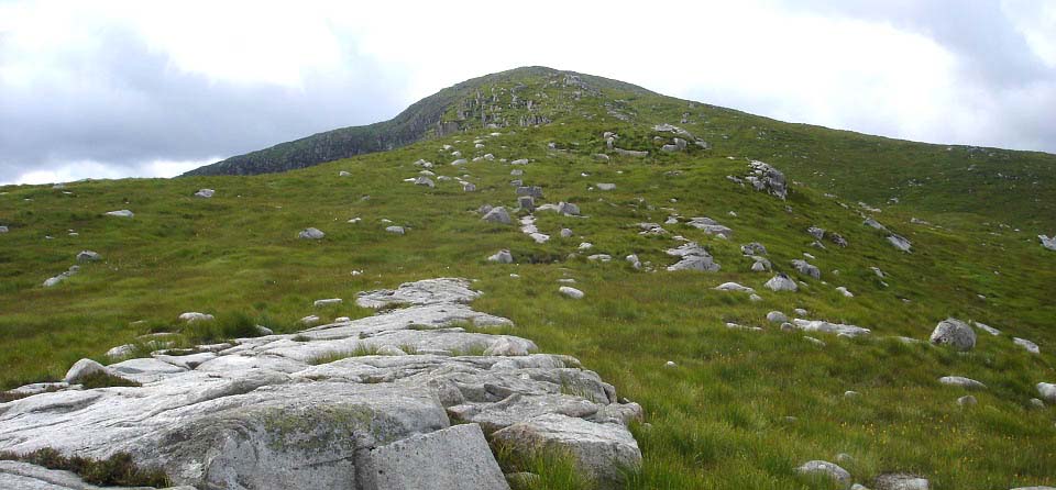
The 1,863ft Hoodens Hill is a good
testing hike up with a couple of really
steep sections, mind the cliffs on the left
side here.
This is one of the best hills in
southern Scotland, as the route up is
narrow with views down the cliffs, giving a
good sense of height. The top of Hoodens is
fairly level, almost all rock, about 1 mile
long, great for hiking across with real
good views all around.
|
|
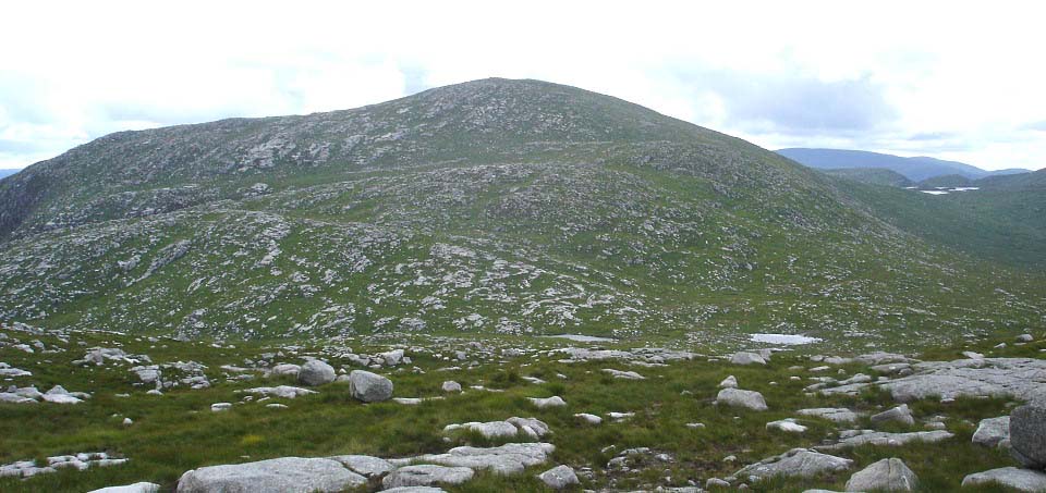
After crossing the long Hoodens Hill
with three cairns, you get a good view of
the highest hill on this range, the 2,270ft
Mullwarchar. This is the most testing part
of this route with a fair hike down then up
to the Mulwarchar summit. Saw a few deer
and goats on this side of Mullwarchar. You
can hike across most of this range on the
granite, although that fairly heats up the
feet, so I tended to get back on the grass
now and again
|
|
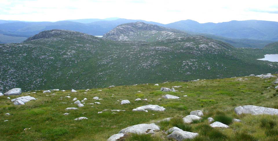
The top of Mullwarchar, as seen below,
shows the 2,001ft Dungeon Hill to the left,
1,592ft Craignairy Hill right of that, with
the 2,116ft Craignaw behind them.
In the Col between Dungeon Hill and
Craignairy Hill, is a Cairn where an
aircraft crashed on the 18th October 1963.
There is a lot of wreckage by the cairn.
More
Information.
|
|
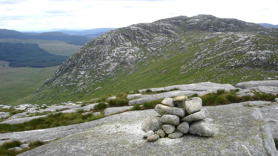
The view below is from Craignairy south
towards the 2,116ft Craignaw Hill, second
last high hill on this range. The path
across is down to the left here. If you go
straight across, as I did, there is a small
amount of rock climbing to get down.
The last couple of hundred feet up
Craignaw is really steep. There are three
steep routes up, I took the one on the left
as it looked slightly easier than the other
two. Southwest of Craignaw summit, you will
find the Devil's Bowling Green, a large
flat granite area with boulders all over
that are used as granite bowls by some
hikers. Think one of the steep routes up is
named the Devil's Bowling Alley.
You can go round to the right and up, a
lot safer.
|
|
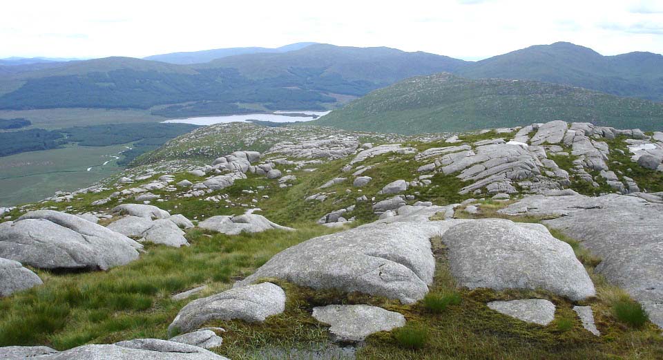
Below is a view from Craignaw looking
south to the 1,742ft Craiglee. On the south
side of Craiglee is the Southern Upland Way
trail, and forest road that leads west to
Loch Trool. There is a track down off the
southwest side of Craglee to a gate onto
the forest road. From the gate, it is about
2 miles west to Bruce's Stone car park at
Loch Trool. From here, that would be the
fast way down if there was someone to pick
you up. The only thing was, my car was at
Loch Doon, so it was a long hike back.
Was starting to think it would have been
better to hike out to Craigmawhannal,
Hoodens and Mullwarchar from Loch Doon one
day, and from Loch Trool to Craiglee,
Craignaw and Dungeon another day.
|
|
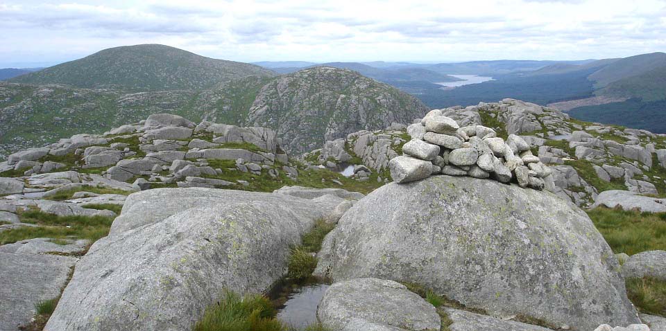
The view below is from Craignaw summit
looking back north to Dungeon Hill,
Mullwarchar and Loch Doon in the distance.
There is a Memorial Plaque on a rock on
Craignaw to pilots of an F-111 that crashed
there on the 19th December 1979.
|
|
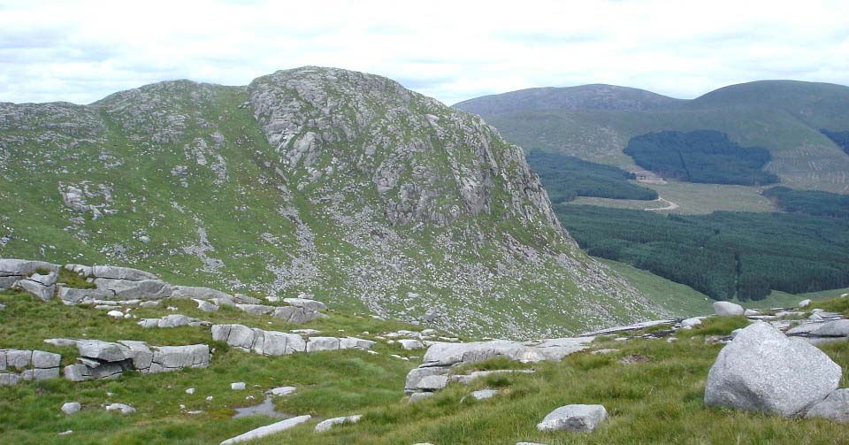
The view below is on the road back after
descending the steep part of Craignaw and
looking north over to Dungeon Hill. Those
east side cliffs have a drop of over 1,000
ft. You tend to see a lot of people
visiting Dungeon Hill summit and it looks a
scary place to be from here. The mountain
in the distance to the east is
Corserine.
Dungeon Hill and Mullwarchar are close
to the Merrick and Buchan ranges, so many
people hiking them make their way over to
these hills. Dungeon Hill
Rock Climbing Page
|
|
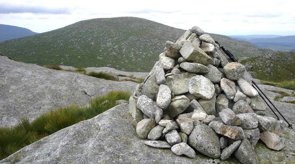
The view below is from Dungeon Hill
summit looking north to Mullwarchar. It
feels safer up here than it looks from the
southeast as it is a large lump of granite
with plenty of room between the cairn and
the cliffs. I would not recommend being up
here in poor visibility though.
|
|
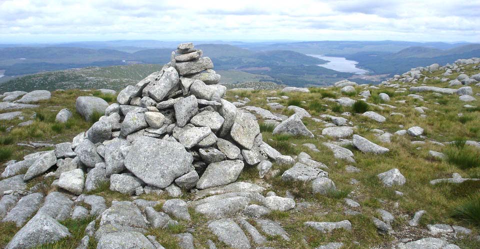
The view below is from Mullwarchar
looking north to Hoodens Hill and Loch
Doon.
|
|
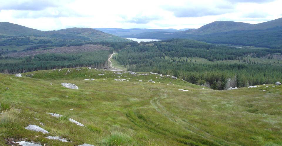
The view below is on the road back from
Craigmawhannal Hill looking north to the
new forest road that leads to Loch
Doon.
|
|
This was a long and testing hike taking
about 10 hours over arguably the most
interesting and testing hills in southern
Scotland.
You can descend the east side between
Craignaw and Dungeon, or between Dungeon
and Mullwarchar and go back up the valley.
I have hiked down the valley to get pics of
the cliffs and the two small lochs at the
foot of Dungeon Hill. It takes about 2
hourse to hike up the valley between
Hoodens and Dungeon. There are quad tracks
and animal tracks to follow. A lot easier
than going back over all the hills, as long
as there has not been a lot of rain, as the
valley route may get fairly wet.
Large View up
the Valley
Large view
across Dry Loch to Dungeon Hill
Getting dropped off at the south side of
Loch Doon, hiking down the whole
Mullwarchar range, and getting picked up at
the Bruce's Stone car park at Loch Trool,
would probably take between 8 and 11
hours.
Large Map of
the whole range
South Dungeon
Range from Loch Trool Page
|
|
|
