The Merrick Walk
|
 |
|
Where: The Merrick, Glentrool in
Dumfries & Galloway by Ayrshire
When: September 5th 2012
Who: I Parker
Why: good weather so a day out
Weather: Sunny Spells
Height: 2,766ft / 834m
Distance: ?
The Merrick is the highest hill/mountain
in southern Scotland at 2,766 feet. It is
by Glentrool village, 34 miles southeast of
Ayr via the village of Straiton, 9 miles
north of Newton Stewart in the county of
Dumfries & Galloway. The village is
about 30 houses with a popular small hotel
for drinks and meals. The hotel is situated
about 1 mile south of the village, named
the House o Hill. The Glentrool
Holiday Park for camping is close to
the village.
Glentrool Park is 1 mile east of
Glentrool village with a visitor centre, a
few car parks, and many walk/cycle paths
throughout.
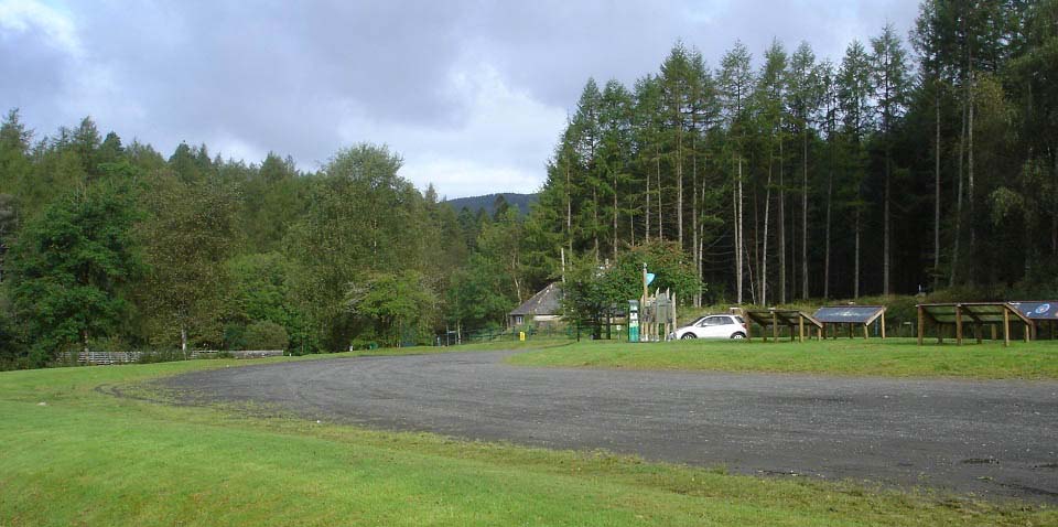
Below is a view of the Glentrool
Visitor Centre with parking for many
cars and signs giving information on the
walking and biking trails throughout the
park, and around Loch Trool. The signs also
give information on astrology as this area
is so remote, it is classed as a dark skies
area, one of the top areas in the UK for
viewing the stars.
The car parks for the Merrick Range are
3 miles east of here via a good single
lane, tar road, with many passing places.
Road
Map
Large Walking
Routes Map
|
|
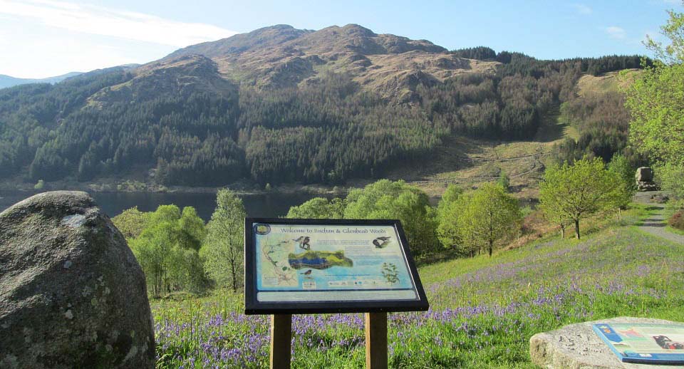
Below is a view of Bruce's Stone by Loch Trool
with Mulldonach hill behind. This stone
monument is in honour of a battle in the
Scottish Wars of Independence, fought here
in April 1307.
This stone monument is 3 miles east of
the Glentrool Visitor Centre via a well
marked single lane road. The road to this
monument is good tar with many passing
places, the road past the monument is loose
surface. There is a car park at the
monument that can hold about 12 cars, and
another car park 3 hundred yards before the
stone that can hold about 30 cars.
The well marked Merrick Walking Trail
begins from next to the car park at Bruce's
Stone. This is the most popular hill in
southwest Scotland, so there will normally
be a few cars in the car park. Weekends and
holidays, you may have to park in the
larger car park 300 yards back down the
road.
|
|
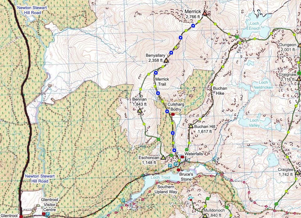
The map below shows The Merrick Trail
highlighted in blue. This is a narrow trail
in places with boulders here and there to
step over. Part of the trail, on the west
side of Benyallary, is man made.
More adventurous hikers go up the steep
east side of Eschoncan, over Bennan, then
onto the trail at Benyallary.
|
|
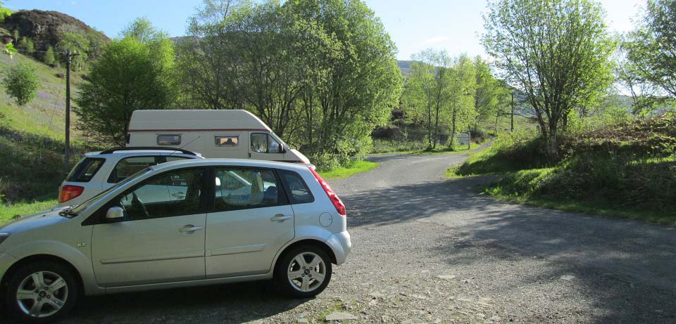
The image below is of the Bruce's Stone
car park with the Merrick Trail sign where
the hike begins from.
|
|
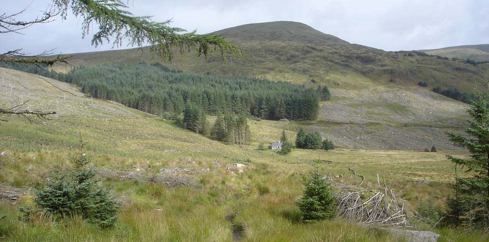
The view below shows The Merrick Trail
passing Culsharg Bothy with the 2,358ft
Benyallary behind, The Merrick is high
right in this image.
Walking along here, you will see the
Buchan Hill range over to the right, an
alternative way back down, but a more
difficult route.
Large
Image.
|
|
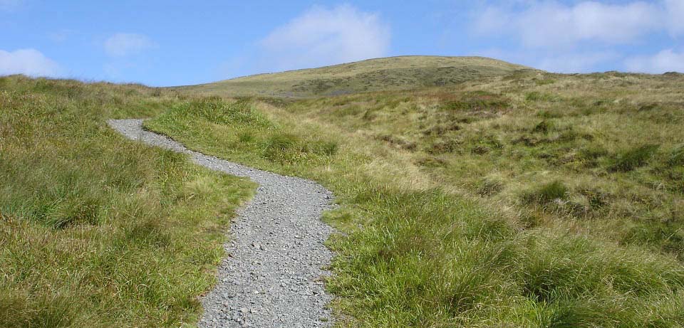
Below is an image of the west side of
Benyallary after clearing the trees via a
steep woodland path. There is a man made
trail most of the way up Benyallary. The
path through the woods to here, and this
section, are the steepest and most testing
part of the hike
|
|
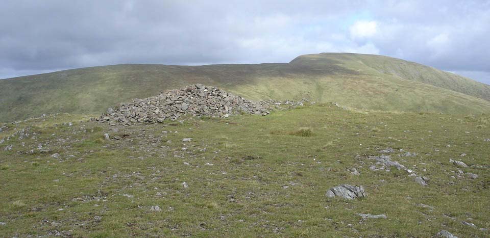
The view below shows Benyallary summit
with The Merrick behind.
|
|
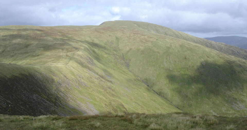
The view below is of the easy to follow
trail from Benyallary, over the Neive of
the Spit, then up to the Merrick. This is a
steadier hike than the one up Benyallary,
and the Neive of the Spit is wider than it
looks. There are high cliffs here, and on
the north side of the Merrick to look out
for if visibility is poor.
Large
Image.
|
|
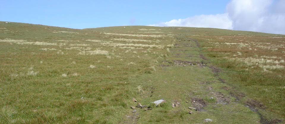
The view below is nearing the summit of
The Merrick.
|
|
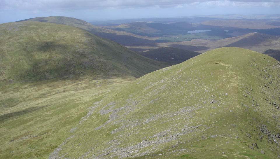
The view below is from the summit of The
Merrick looking north to the Little Spear,
2,579ft Kirriereoch and 2,520ft
Shalloch-on-Minnoch. This is a fairly
straight forward hike out to those hills
but would make for a very long day going
out to Shalloch-on-Minnoch and back.
There is an easy route from
Shalloch-on-Minnoch down over the 2,162ft
Caerloch Dhu to the road half of a mile
south of the Stinchar Bridge, but that is
about 16 miles from the Loch Trool car
park. A good route if you are being dropped
off and picked up, or if your party has two
cars. From Bruce's Stone at Loch Trool,
over these hills and down to the Stinchar
Bridge, is a about a 7 - 9 hour hike.
Large
Image
Large Map of
the Whole Range
|
|
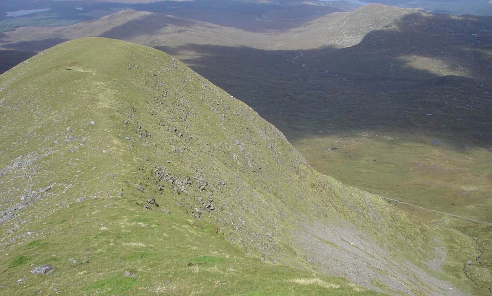
I popped down to Little Spear to get a
few photos from there. Only took 5 minutes
to get down, but 10 minutes hard hiking
back up. It is only about one hour from
Little Spear to Kirriereoch and back as the
south side of Kirriereoch is an easy hike,
its north side is more testing.
Little Spear is 2,568ft with a 600 foot
drop down the right side, as seen below, so
be careful in poor viability.
Large
Image
|
|
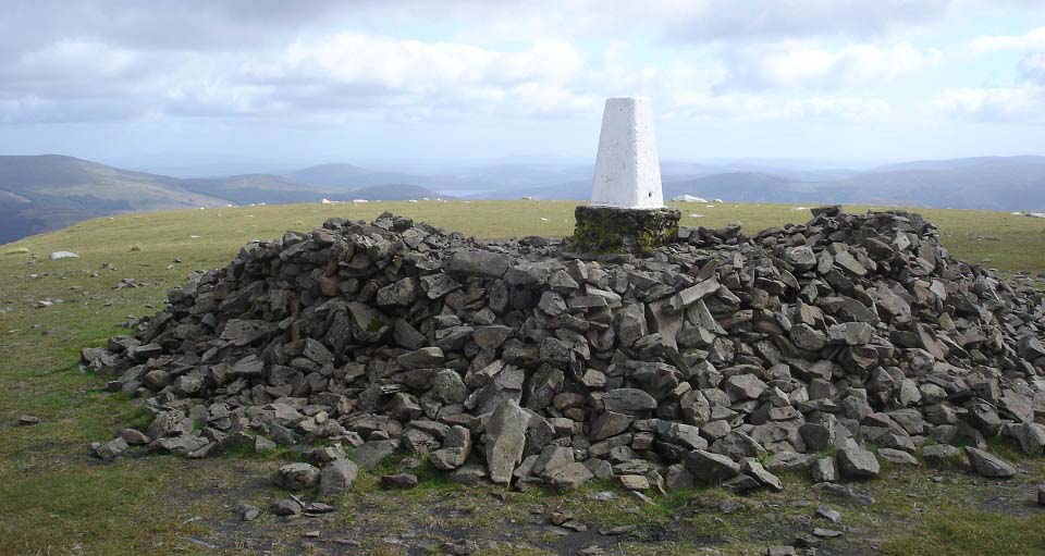
The view below is of The Merrick summit
looking southeast for the other way down to
Loch Trool, over the Buchan Hill range.
This is a lot tougher than The Merrick
trail as it has no visible paths in places,
and the Buchan Hill range has a number of
rocky peaks. If you do not have experience
of rough hiking, it may be best to follow
The Merrick tourist trail back down.
|
|
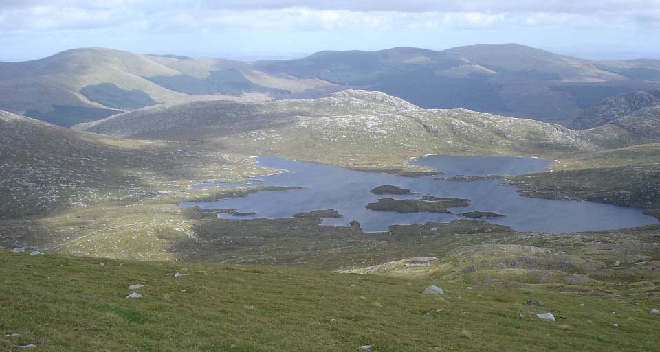
The image below is from the southeast
side of The Merrick heading towards Loch
Enoch. The hill behind the loch is the
2,001ft Dungeon Hill with about 1,000ft
cliffs on the far side. The hill high left
in the distance is the 2,671ft Corserine on
the Rhinns of Kells range.
Some hikers looking for a full day
hiking go out to Dungeon Hill then head
south from Dungeon over Craignaw and
Craiglee on route back to Loch Trool, but
that is a really testing day.
The Buchan Hill range starts at the
corner of the loch, bottom right of the
image below. There are no trails down here,
just pick your way down towards the south
side of the loch, you should then see a
faint trail lead onto the Buchan Hill
range.
|
|
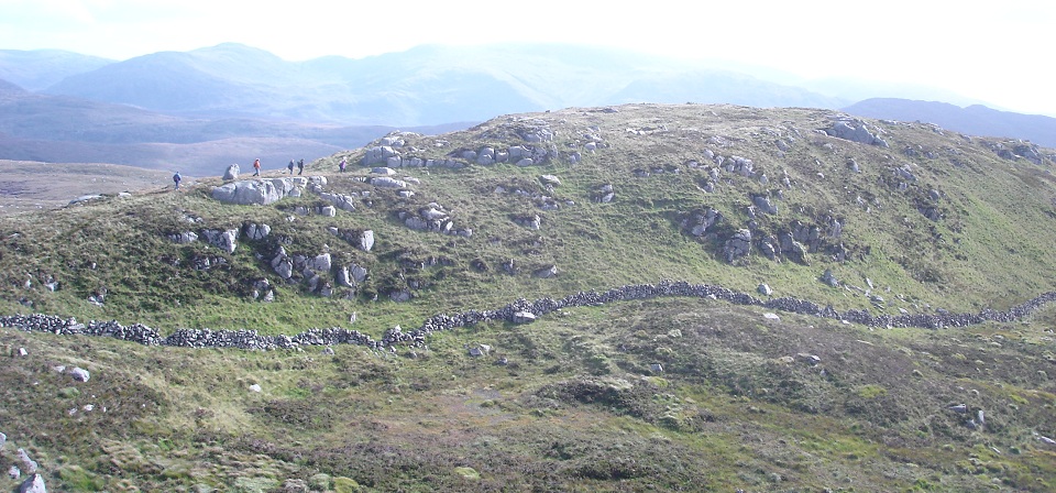
Below is an image from the bottom of The
Merrick looking at the start of the Buchan
Hill range. There is a faint trail all
along the Buchan Range.
|
|
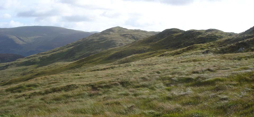
The image below is looking along the
Buchan Range with the 1,617ft Buchan Hill
being the highest peak. There are about 6
peaks along this range, most with cairns on
the top.
There are soggy patches between these
hills so waterproof boots and gaiters are
advised for this hike.
I have taken photos of The Merrick from
every angle, think the view from Buchan
Hill is hard to beat. Large Image
Large Image
from the summit back to The
Merrick*****
|
|
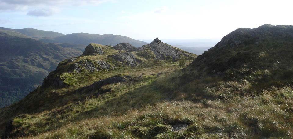
The view below is of the last peak
sitting high above the car park and Loch
Trool.
|
|
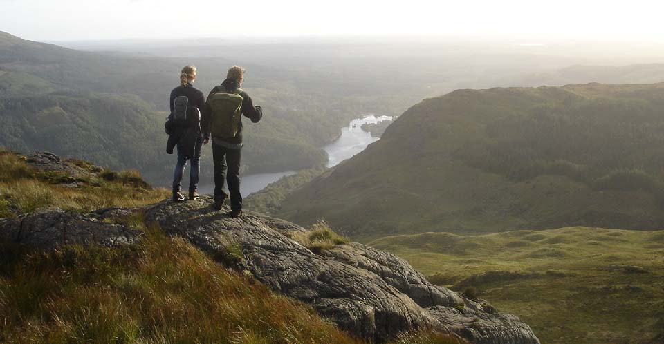
The view below is from the last peak
looking down to the car park and Loch
Trool. There is no trail down here, so you
just have to pick the best looking way
down. This vantage point allows you to plan
your descent.
This view also shows the 1,148ft
Eschoncan Hill sitting high above the car
park. That is one of the lowest hills here,
but also the steepest, with great views
over Loch Trool and Bruce's Stone
memorial.
Large
Image.
|
|
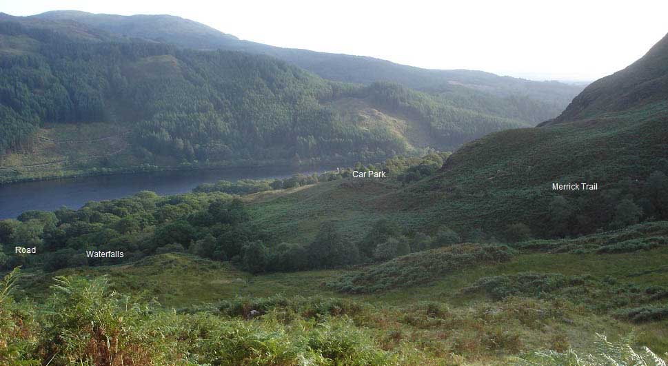
The image below is from descending the
Buchan Hill range. You can make your way
over to the right here and pick up The
Merrick Trail back to the car par, although
that route crosses the fast flowing Buchan
Burn via stepping stones. The main route is
to go down to the road and Buchan Bridge by
the Buchan Waterfalls, about 400 yards east
of the car park. The waterfalls are well
worth viewing. Waterfalls
Image.
|
|
The hike to The Merrick and back
following the tourist trail takes about 4 -
5 hours. Going up the tourist trail and
back down the Buchan Range will take a bit
longer. Going over the Dungeon Range will
be even longer.
This was an interesting hike which was
not as hard as I expected going up, as I
never knew there was a good well marked
trail all the way up. Returning down the
Buchan Hill route was an adventure with
some great views over the many lochs, and
rocky hill tops.
Saw a fairly large brown adder when
crossing over here to The Merrick Trail,
next to a dyke just before the burn. Been
looking for adders all year to get some
photos and this was the first one I saw. I
normally wear gaiters for the wet ground,
and incase I tread on an adder, and also
use walking poles so less likely to have to
put my hands on the ground when crossing
rough terrain.
Got attacked by a squadron of midge when
arriving back at the car park. There were
no midge on the hike so seems they like to
ambush the weary hikers on their return in
the evening, have since purchased a midge
net and jungle spray.
Shalloch-on-Minnoch is at the
north end of the Merrick range and Kirriereoch in the Middle.
Some hikers do the range in two days, from
the north and from the south. You need to
get dropped off and picked up, or use two
cars to do the whole range in one day.
Large Route
Map.
|
|
|

