|
Loch Doon is 3 miles east of the town of
Dalmellington, 18 miles east of Ayr.
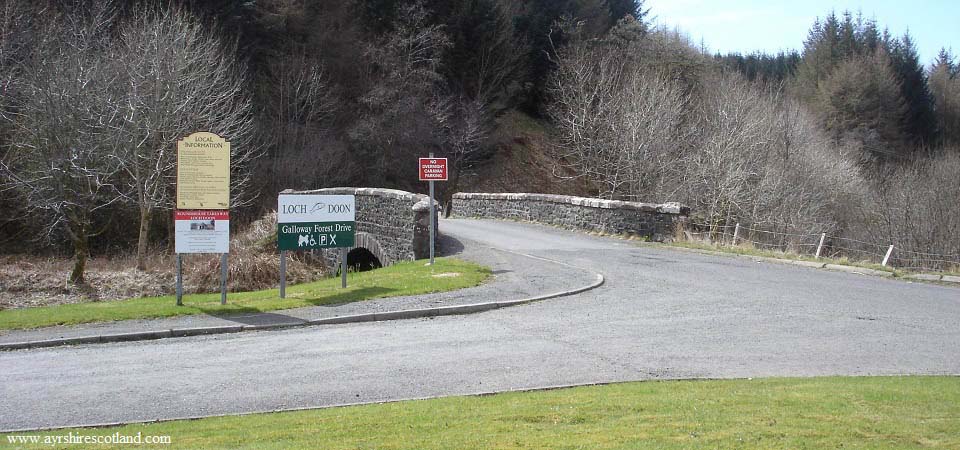
The car park, as seen below, is just
over 1 mile east of Dalmellington next to
the road signed A713 to Castle Douglas
& Dumfries. From here, it is about two
miles to Loch Doon Dam, where the hike to
Glessel Hill begins.
Loch Doon
Map
|
|
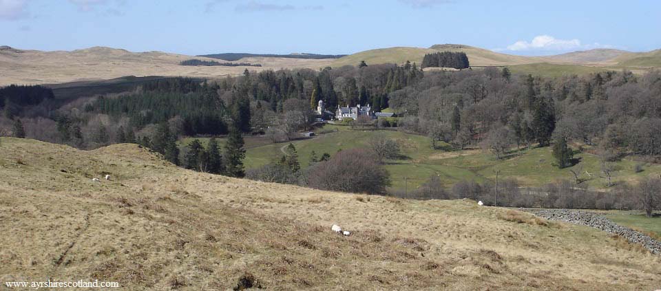
The road winds its way steadily uphill
for about 1 mile. Where it levels out, you
get a good view of Craigengillan Mansion
and Estate on the right hand side.
The estate also offers Pony Trekking,
River Fishing, Mountain Biking, Canoeing on
the River Doon, and Holiday Cottages.
craigengillan.com
The hills top left in this image can be
part of this hike, as a trail leads across
them to Craigengillan and the Observatory,
an interesting addition to the
hike.
|
|
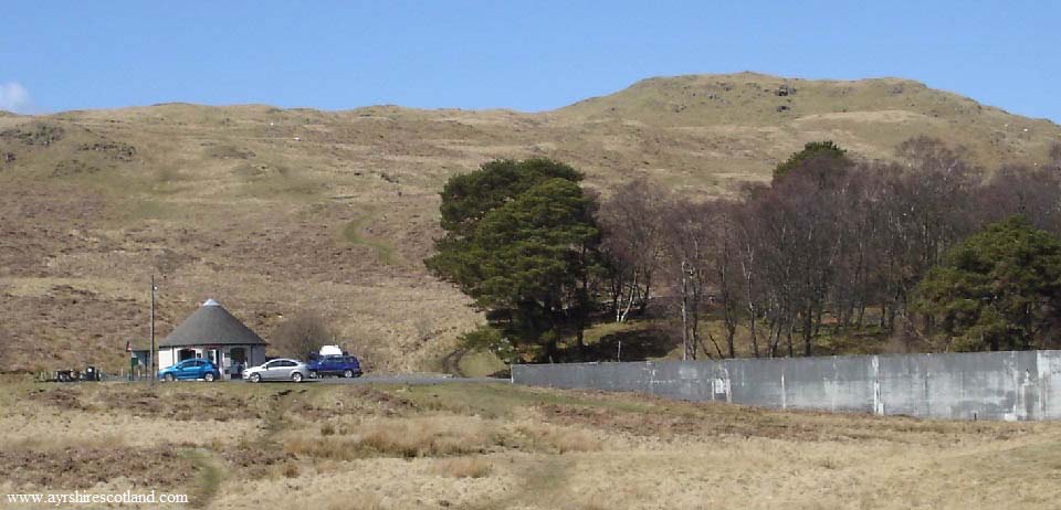
The image below is of Glessel Hill above
Loch Doon Dam and the Roundhouse Cafe.
There is a faint trail most of the way to
the top for some great views across Loch
Doon. In 2024, the Cafe was only open at
weekends?
|
|
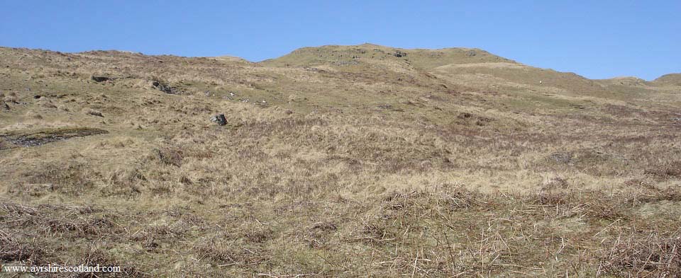
The image below is of about half way up
Glessel Hill. The hiking is good going and
fairly steep in places.
|
|
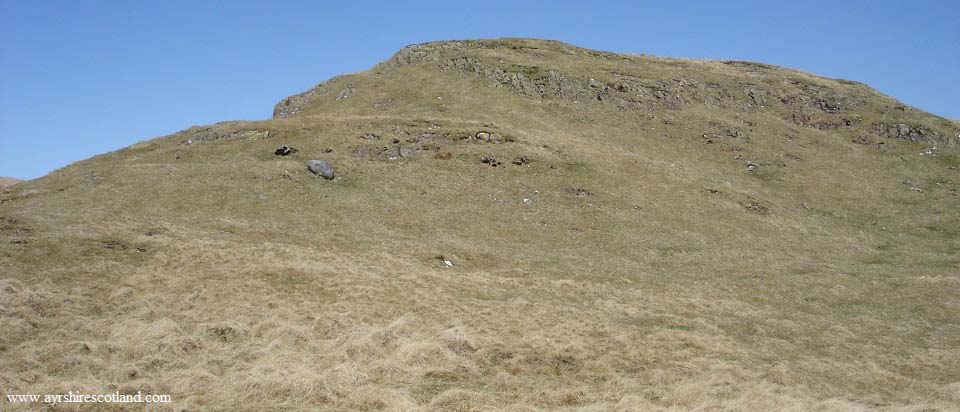
The image below is of the final section
of Glessel Hill. This looks just like the
top of many mountains over 2,500ft.
|
|
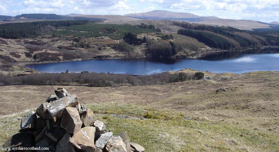
After only about 30 minutes hiking, the
summit of Glessel Hill gives great views
over Loch Doon Dam, as seen below.
Loch Doon is over 600ft above sea level,
so the hike to the top of the 1,062ft
Glessel Hill from the Dam is only about
400ft. The mountain in the distance is the
2,614ft Cairnsmore of Carsphairn. That
mountain though does not have views like
this.
Large
Image
|
|
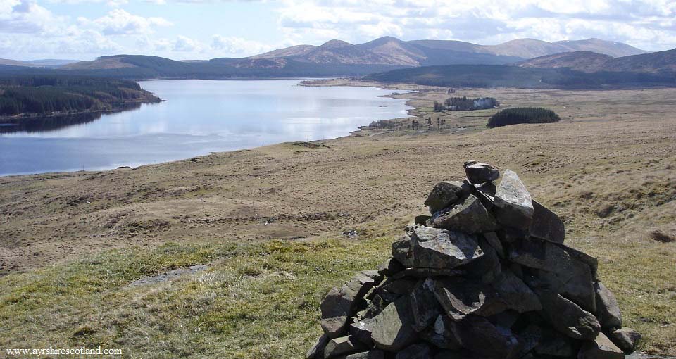
The image below is from Glessel Hill
looking southeast over Loch Doon to the
Rhinns of Kells, or Corserine Range. The
highest mountain in the distance is the
2,648ft Carlin's Cairn, with the 2,671ft
Corserine just behind that.
Large
Image
|
|
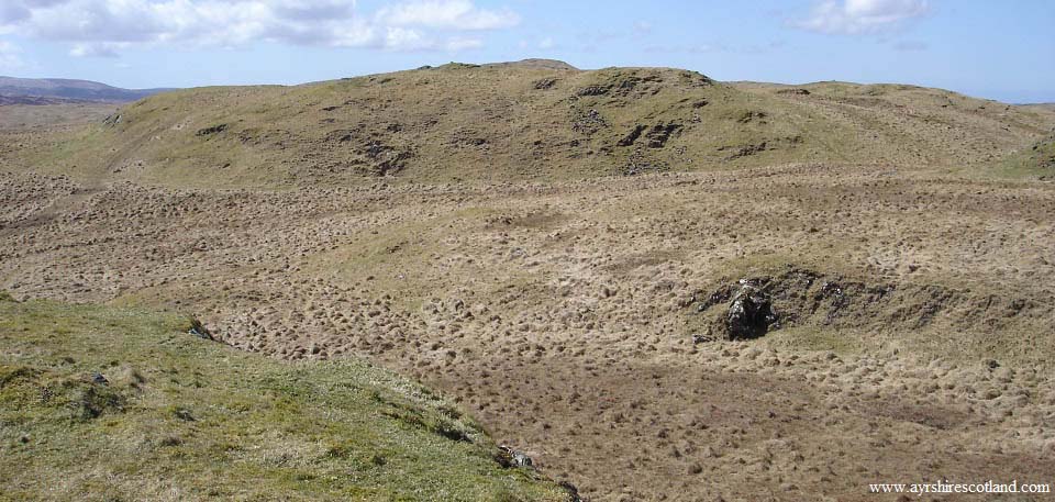
The image below is from Glessel Hill
looking southwest to an un-named hill on
the Ordinance Survey Map. The hill further
out with a trig point on it is the 1,253ft
Big Hill of Glenmount.
I took a hike over to the un-named hill
for a view out to the Big Hill of
Glenmount. It looks about half of a mile
from there out to the Big Hill of Glenmount
over good looking ground. I decided to
leave that hike for another day.
Large Image
from the un-named hill to the Big Hill of
Glenmount.
|
|
Most people just go back down the same
way, but you can extend the hike around to
the Ness Glen Walk.
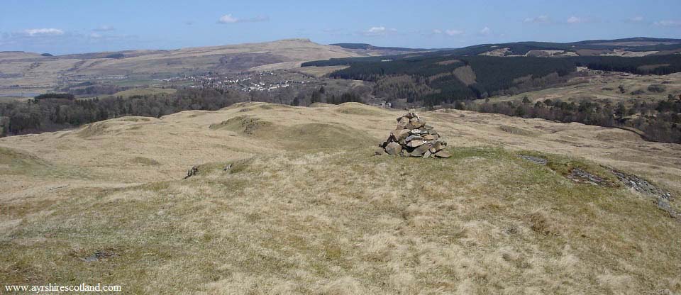
The image below is from Glessel Hill
north towards Craigengillan Estate and
Dalmellington. You can see the wooden Fort
from here, so you can follow a faint trail
towards the Fort.
|
|
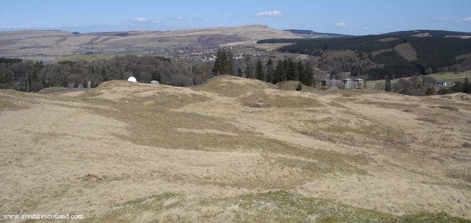
The image below is on the route over
towards the Fort. You can see the Dark Sky
Observatory from here, just left of the
Fort. The trail leads right to the
Observatory.
|
|
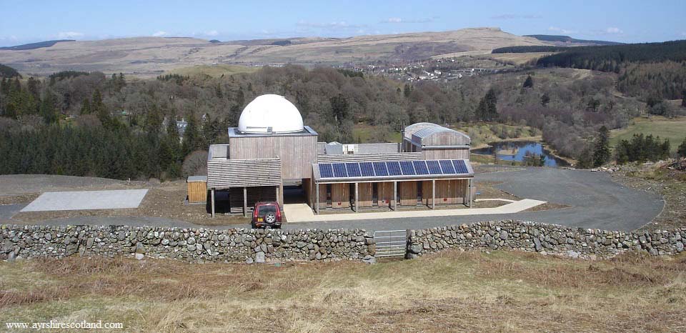
The image below is of the Scottish Dark
Sky Observatory from the hill path.
The Observatory was dammaged by fire in
2021, will not re-open.
|
|
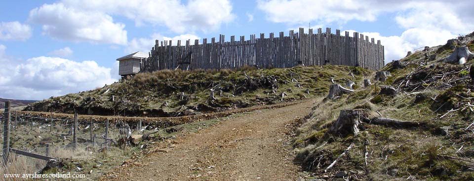
The image below is of Craigengillan Fort
on the route round to Ness Glen, to the
left past the Fort.
About 100 yards past the Fort, the path
splits in two, the one to the right leads
over the top of Ness Glen back to Loch Doon
Dam. The path to the left, leads down to
the bottom of Ness Glen for the path back
to Loch Doon Dam alongside the river.
|
|
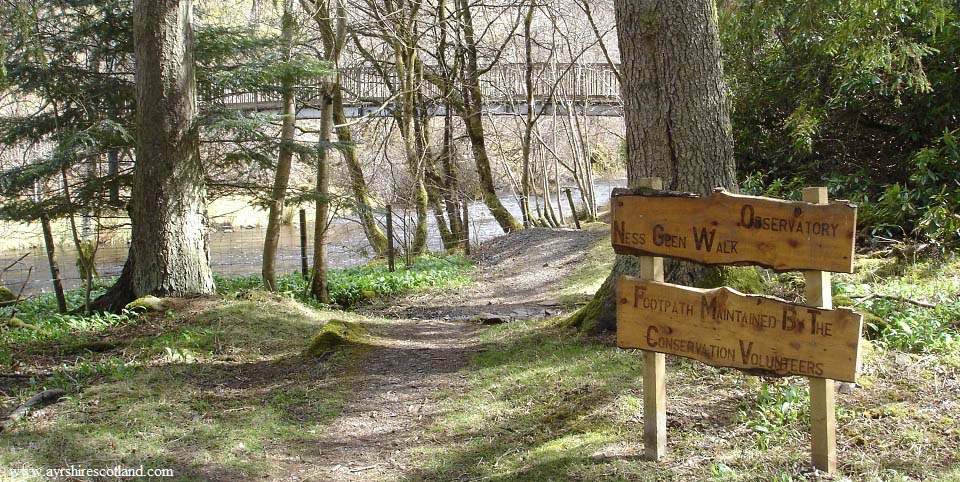
The image below is of the bottom end of
Ness Glen at the footbridge. This is a well
maintained path.
|
|
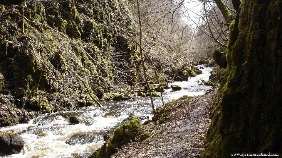
The image below is from the path leading
up Ness Glen towards Loch Doon Dam. The
sides at this point are really high. When I
looked down from the top, I could not
believe there could be a path down here,
could not even see the river.
This has to be one of the most
impressive riverside paths in Scotland.
|
|
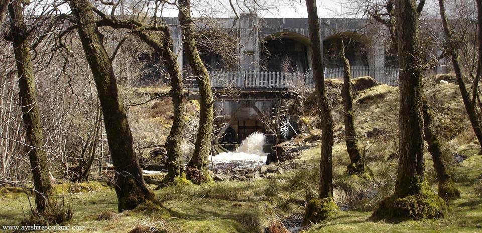
The image below is from the Ness Glen
trail passing Loch Doon Dam. This is the
start of the River Doon that enters the sea
at Alloway Village on the south side of
Ayr.
A few years back, the Water Board stated
they were going to reduce the amount of
water released from the dam to about half
what is normal. Locals began a campaign to
Save the River Doon as they claimed the
reduction would have reduced the river to a
burn. The campaign seems to have been
successful as there has been no reduction
in the flow of water leaving this side of
Loch Doon.
The water used for the Hydro Electric
system in the southwest of Scotland, does
not leave Loch Doon from this side. It
leaves Loch Doon from the east side,
through a large pipe out through the hills
to just north of Carsphairn village, at
Drumjohn. That water then runs south
through a number of other lochs with Hydro
Systems between here and Dumfries.
|
|
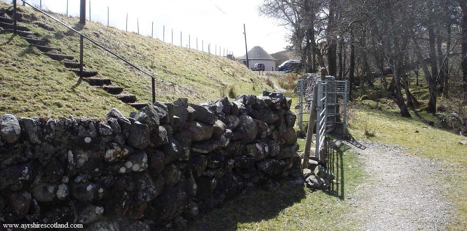
The image below is from the top side of
Ness Glen looking up towards the Roundhouse
Cafe, where the hike began.
|
|
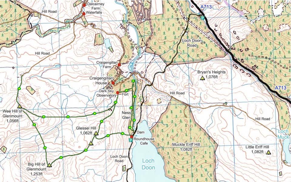
The map below shows the hiking route
onto Glessel Hill and to the other hills
and Ness Glen.
It only takes about an hour and a half
to 2 hours to hike to Glessel Hill then
round Ness Glen. The hike out to the Big
Hill of Glenmount would take over an hour
longer. The hike out to the Dalcairney Waterfalls would make
for a good half day hike.
Not sure what the hike to Loch Muck and
the hills out there are like, some day I
will venture out there.
For information on other hills/mountains
and attractions around Loch Doon, visit the
Loch Doon Page.
|
|
|
