|
Where: Brown Carrick Hill by Dunure
& Ayr
When: May 12th 2012
Who: I Parker
Why: wanted to see what the view was like
from the top
Weather: Sunny Spells
Distance: ? miles, height 941ft / 287m
Brown Carrick Hill is the highest hill
close to Ayr. It is on a range that runs
from south of Alloway Village on the south
side of Ayr, to Dunure 5 miles south.
There are a number of ways up to the top
of this hill, including driving most of the
way to the communications towers, then walk
the rest. This road leads off the Ayr to
Dunure coastal road, marked Carrick Hills
1.
Another route is to walk out from Ayr
along the coast to the Heads of Ayr cliffs, then
follow the road from there to the
communication towers.
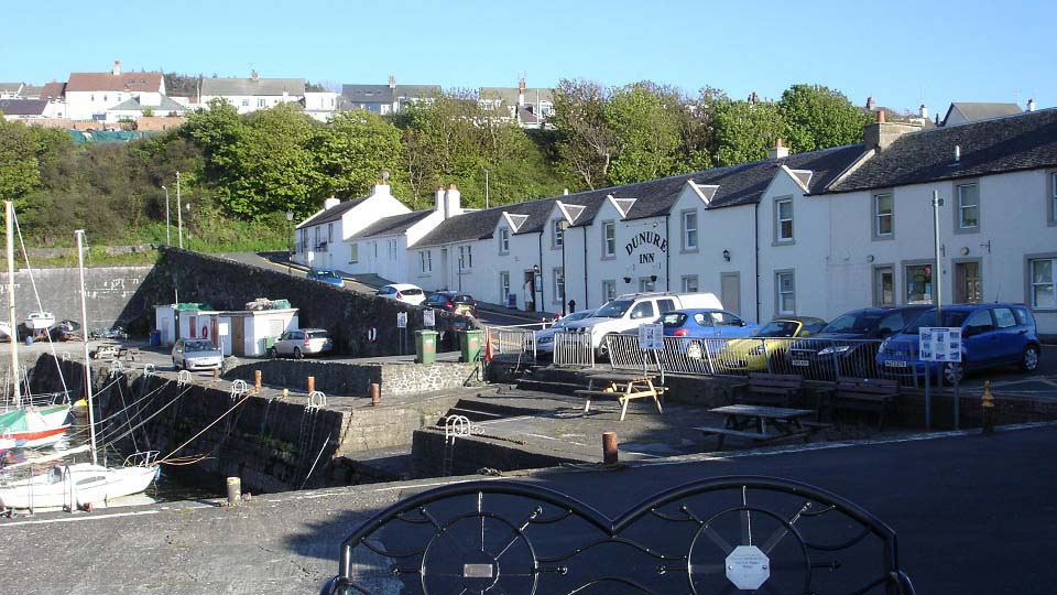
This photo tour is from Dunure Harbour,
as seen below, where there is parking in
front of the Inn, behind the Inn, or at the
Castle Park behind the Inn. This hike seems
more than 941 feet up, but that is probably
because it starts from about 10 feet above
sea level. The hike begins here and follows
the road left when exiting the harbour, up
Station Road.
Google
Map
|
|
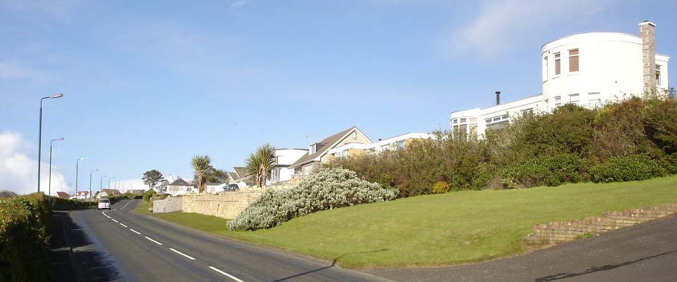
Walking up out of Dunure on Station
Road, you pass a few interesting looking
houses looking out over the sea. These
houses just above Dunure are in the area
named Fisherton.
|
|
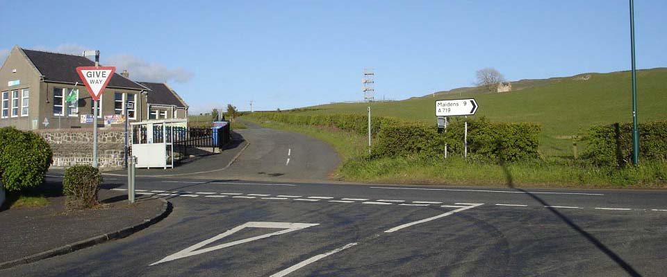
Where the road meets the main coastal
road, as seen below, you cross straight
over and up past Fisherton School. This
road is marked the Maybole Hill Road.
In the image below, you can see Brown
Carrick Hill in the distance, and Dunduff
Castle just right of the tree.
|
|
The map below shows the routes onto the
hills. This map also shows the coastal
walking route between Ayr and Dunure via
the Heads of Ayr Cliffs. The coastal route,
and hill route in a loup, will be about 20
miles.
You can also see where the roadside
parking is on the Carrick Hills Road, a
handy place if you want to hike to the top
the easy way. That parking is on grass by
the side of the road.
|

|
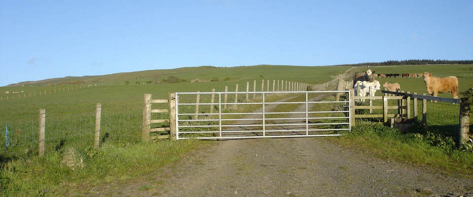
A few hundred yards past Fisherton
School, you turn right following the
walking signs. A few hundred yards along
that road, you follow the walking signs up
onto the hills, as seen below.
|
|
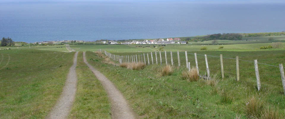
The view below is looking from the hill
road back down to Fisherton, and Dunure
below that next to the sea.
|
|
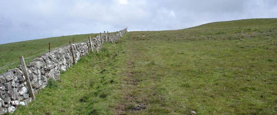
You pass a number of gates on the road
up. One of the top gates has a stone dyke.
Follow this dyke until you are above
Dunduff Castle. This is the direct route to
Brown Carrick Hill.
Another route is continue following the
hill road up into the woods, through the
woods, past a loch, then out onto the
southeast side of the hill. To view this
route, use the Google Map
Link then change to Satellite to see
the loch and road through the forest.
|
|
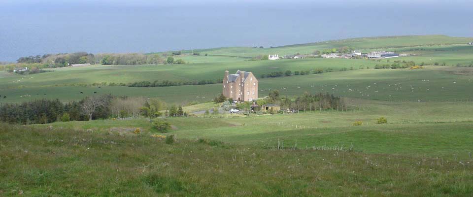
The view below is looking down over
Dunduff Castle.
Work to build this Castle began in the
1600s, but it is believed the Castle was
never fully completed. A local family had
the Castle completed in the 1990s.
|
|
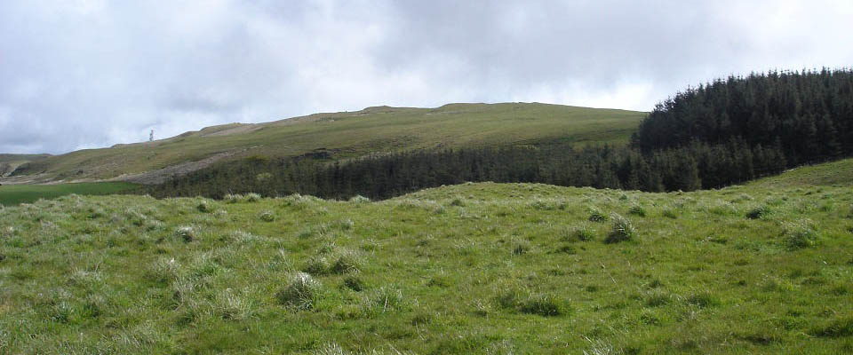
Below is an image after heading up over
the hills from the Castle. There is a
narrow path where the higher trees meet the
lower trees.
|
|
After clearing the trees, it is a steady
hike up onto a false summit, from where you
get the first view of the trig point
stone.
|

|
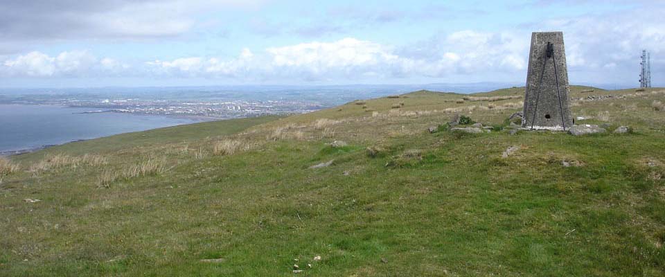
The top of Brown Carrick Hill gives
great views all around, such as, out over
Ailsa Craig to Ireland, west over the Isle
of Arran and Mull of Kintyre, north over
Ayr as seen below, and on a really clear
day, as far north as the mountains north of
Glasgow.
The view 20 miles east shows the
New Cumnock hills
that are over 2,000 feet, and the view 26
miles southeast shows the Loch Riecawr hills
at over 2,500 feet.
You can walk about 2 miles north along
this ridge, past the right side of the
communications towers to the 646 feet
Newark Hill, where you get good views down
over Alloway and Ayr.
|
|
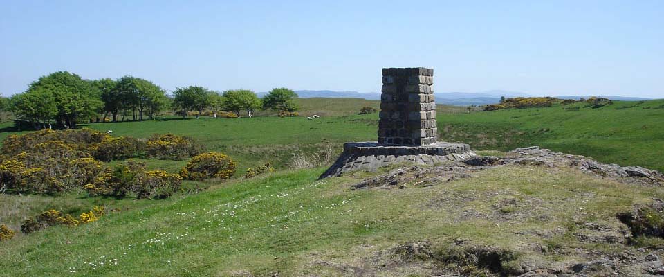
If you follow the road down from the
communications towers towards Ayr, you will
cross the hill road running across the
hills west to east. Next to the hill road
is a nice looking cairn, as seen below,
from where you get views north to Newark
Hill.
|
|
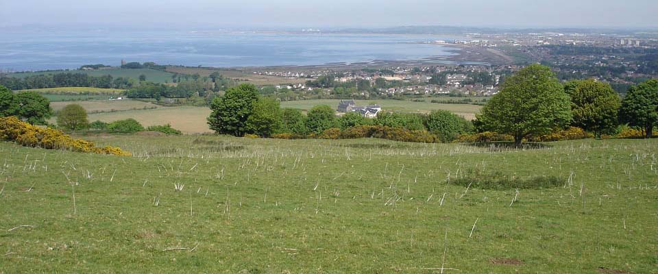
From the west side of Newark Hill, as
seen below, you get good views over Ayr.
Burton Farm is the closest building to be
seen in the image below. There is a farm
track that runs down from the hills here,
past Burton Farm, then to the main coastal
road that runs between Ayr and Dunure.
Make sure you go down this track on the
west side, as the other tracks take you
down into Newark Estate, that is a sporting
estate with hunting going on.
The Pheasant shooting season is from the
beginning of October to the end of January,
so best also avoid Newark Hill in these
months as many Pheasant shoots take place
up on the hill. I found this out the hard
way, as when hiking down off Newark Hill
one day in November, so many Hooray Henry's
began letting off, the 16th Infantry
Regiment would have been out-gunned.
Also, the lambing season is from
February to April, so best avoid this route
then as well. Any dogs have to be kept on a
lead.
|
|
The wide view below shows Newark Hill
right, Burton farm road just right of
centre, the Alloway walking/cycle lane just
left of centre, and Dunure Road left that
runs between Ayr and Dunure.
The farm track from the west side of
Newark Hill leads down from the hill to the
farm road a few hundred yards before Burton
Farm as seen below. The farm road below
goes past Burton Farm, not through it, so
you are not bothering anyone. Burton Farm
has been converted to some really nice
looking apartments. This route can be taken
from Ayr or Alloway to Newark Hill itself,
or you can park here and walk to Newark
Hill for good views over Ayr.
There is a walking/cycle lane just
across Dunure Road here that leads to
Greenan Castle and beach, then on to Ayr
beach.
You can also walk into Ayr centre
following the footpath next to Dunure
Road.
You can also walk in Dunure Road about 1
mile, then walk down Earls Way to the
beach, then follow the beach walking/cycle
lane to Ayr centre.
Google Map
. Hill Walking
Map.
|


|
|


