|
Where: Holy Isle just of the coast of
the Isle of Arran
When: July 2013
Who: I Parker
Why: Good weather so a day out
Weather: Sunny
Distance: about 6 miles
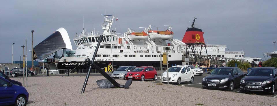
The image below is of the Arran ferry
Caledonian Isles loading at
Ardrossan. It costs about £9 per
person for a day return on the ferry, about
£37 per return for a car, so many
people park in the large car park next to
the pier for a few pounds per day, rather
than take the car. If you are taking a car
at weekends or in the school holiday
season, it is best to pre-book, as the
ferry can be fully booked then.
I was only going to the Holy Isle from
Lamlash about 3 miles south of Brodick, so
parked the car at the pier car park and
boarded as a foot passenger.
Ardrossan Train Station is less than
half of a mile south of the ferry terminal.
You can normally buy train/ferry tickets
together with a discount. Train/Ferry
Map.
The first ferry normally departs
Ardrossan at 07.00 and the next at 09.45.
Afternoon ferries leaving Brodick are
normally 16.40 and 19.20. In summer, there
is also a smaller ferry that runs so there
will be more crossings available. Price
checks and timetables for the ferry can be
found at the ferry website:
www.calmac.co.uk
HD Video /
Slide
|
|
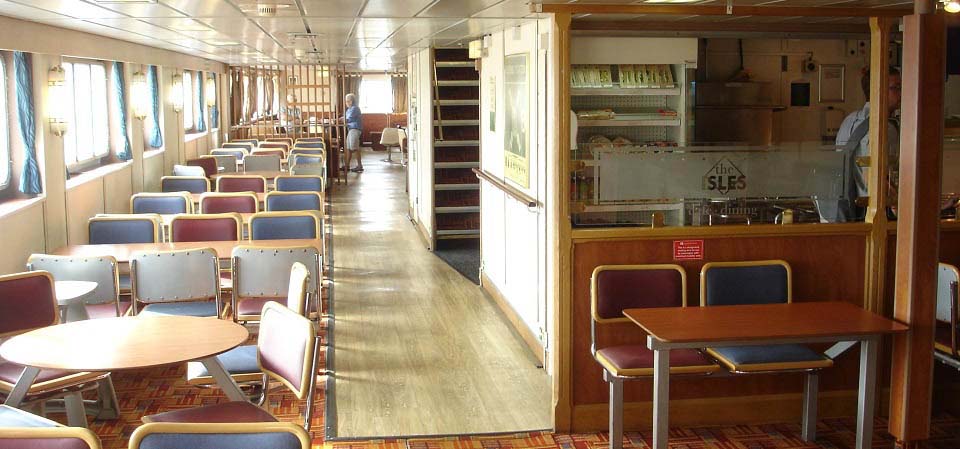
The image below is of one of the
restaurants on board the ferry. The
crossing takes about 1 hour to Brodick, so
plenty of time for breakfast.
|
|
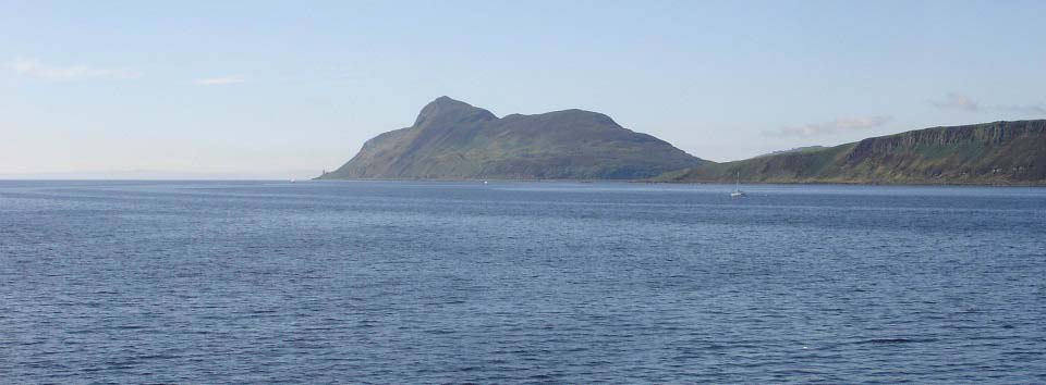
The image below is from the ferry when
approaching Brodick, looking south to the
Holy Isle. This was the 09.45 ferry, so i
was hoping the buses would be waiting on
the ferry docking.
The bus stops are right next to the
ferry terminal and there were three buses
sitting waiting. One goes north to Cladach,
Brodick Castle, Corrie, Sannox, Lochranza
and round to Blackwaterfoot. Another goes
straight over to Blackwaterfoot via the
mountain road, and the other goes south to
Lamlash, Whiting Bay, Kildonan, Kilmory,
Lagg and round to Blackwaterfoot.
Bus Website
.
If you miss the bus A.R.C. Private
Hire are based in Brodick with a price
guide for up to 4 people of about £15
between Brodick and Lamlash. Tel: 07776 082
752.
|
|
I managed to get on the correct bus,
Service 323, so arrived at Lamlash about
ten minutes later. There is about a two
hundred yard walk from the bus stop to the
Lamlash Pier.
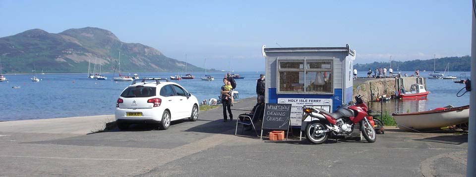
The image below is of the Holy Isle
booking office at Lamlash Pier.
Lamlash Google
Map
Arran Attractions Map
Lamlash Page
|
|
I made the booking at the office that
was about £11 for the ferry trip, in
2024 it was up to £26. The ferries are
supposed to run on the hour, but on busy
days, they can run about every 20
minutes.
The last ferry back from the island is
17.15. Evening trips have to be booked in
advance. You are not allowed bikes, pets or
alcohol on the island.
You are given a pamphlet when booking
that gives information on the island and
has a map of the walking and hiking
routes.
The ferries run from April to October
when the weather is suitable, it is better
to pre-book through the website now as can
be fully booked some days, also there are a
few different offers available for visits.
Out of the summer season, it would be best
to phone to check the ferries will be
running on the day of your visit.
lamlashcruises.org.uk
Ferry trips Tel: 07904 846 765.
Island Website: holyisland.org
|
|
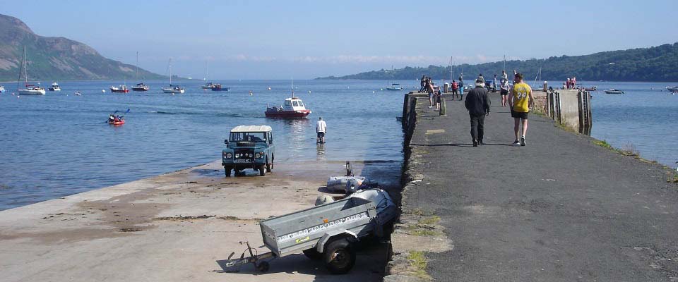
The image below is of the Jetty on the
Holy Isle. There is normally someone here
to meet you and give information on the
Island.
|
|
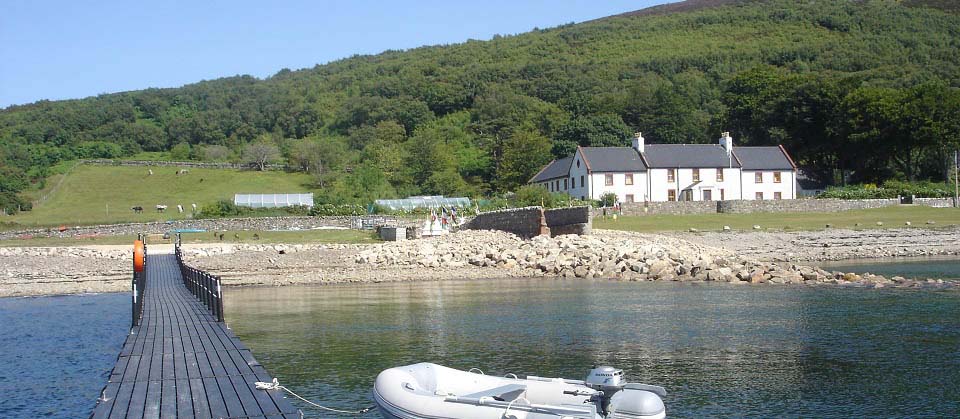
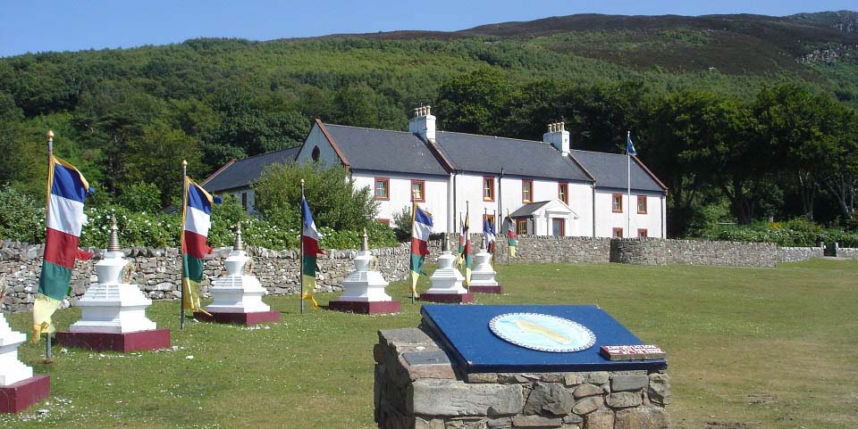
The image below is of the place you will
be given information on the Island and
about the owner of the Island. The building
here is the Centre for World Peace and
Health where an ongoing retreat and course
programme takes place. This building cannot
be visited most of the time, unless you are
staying on the island for a course.
|
|
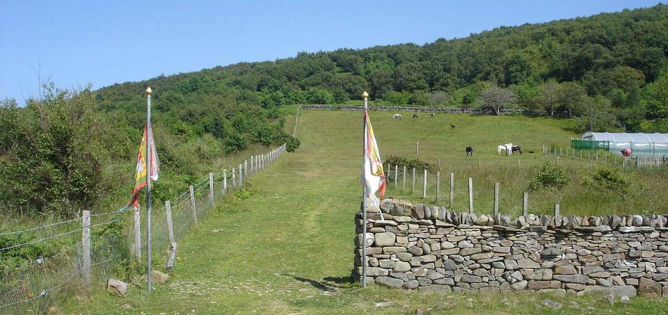
The image below is of the start of the
Holy Isle mountain trail. This point is
straight in front of the jetty, so easy to
find. There is a stile at the top of the
field that leads to a woodland path. The
woodland path leads for a few hundred yards
up onto the hills.
If you do not fancy the steep climb over
the mountains, you can follow the good
coastal path down the west side of the
Island, and round to the Pillar Rock
Lighthouse on the southeast side of the
Island.
|
|
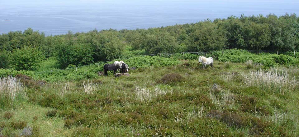
The image below is from just above the
woodland path with some wild horses out on
the hills.
|
|
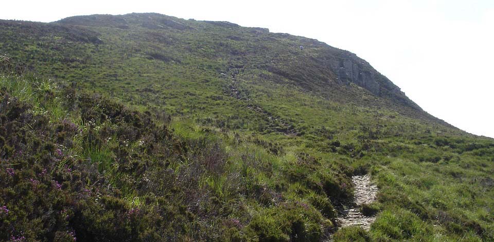
The image below is of the well marked
trail to the top of the north hill named
Mullach Beag at 807ft. There are a number
of trails up here, probably horse trails,
so you have to follow the way markers.
|
|
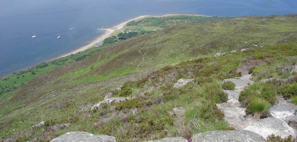
The image below is looking back down
from close to the top of Mullach Beag to
the Holy Isle jetty.
Large
Image
|
|
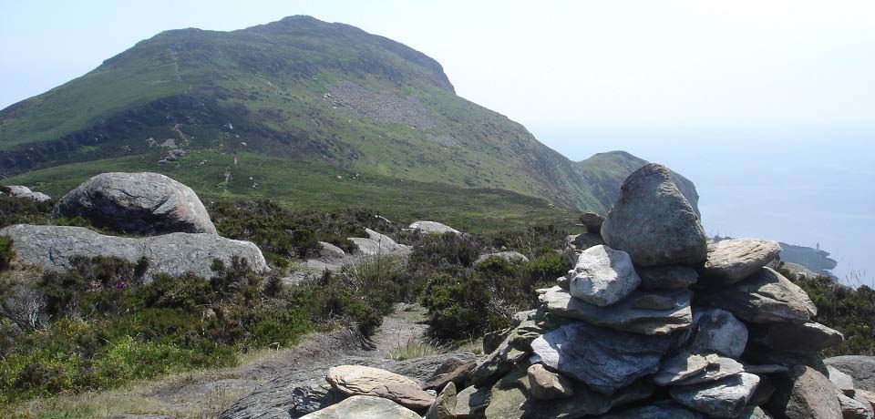
The image below is from Mullach Beag
cairn looking south to the 1,030ft Mullach
Mor.
|
|
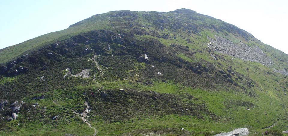
The image below is of the steep section
on the north side of Mullach Mor. There is
a little bit of scrambling required up this
part, it is that steep.
|
|
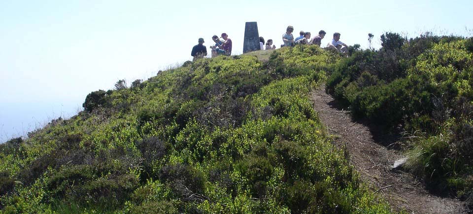
The image below is of Mullach Mor
summit. This was a busy day with people
from around the world on the Island.
Just to the left of the spot where this
pic was taken, is a view almost straight
down to a cove on the east side of the
island, about 1,000ft. I was fortunate to
be looking down when the fast tour boat
Ocean Breeze, from Lamlash, sped into the
cove. Saw the fast tour boat again at the
south side of the Island, and again at the
jetty when waiting on the ferry back to
Lamlash. Ocean Breeze has stopped operating
now.
|
|
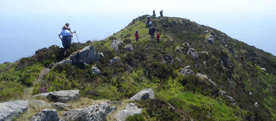
The image below is of the trail leading
down the south side.
|
|
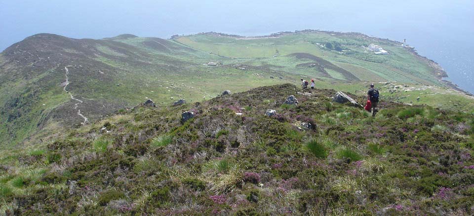
The image below is of the trail down the
south side of Mullach Mor. This first part
is really steep, another bit of
scrambling.
Down to the left when going down here,
you get great views down to the Pillar Rock
Lighthouse on the southeast side of the
island. When you get to the bottom of this
ridge, you will find the path round the
Island shoreline. You can take the path to
the left round to Pillar Rock Lighthouse.
The shoreline path ends at that
Lighthouse.
Following the shoreline path to the
right, you will see up on the hillside, a
square house, home to the owner of the
Island, Lama Yeshe Rinpoche, a Tibetan
Buddhist meditation master in the Kagyu
tradition.
|
|
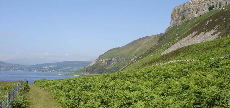
The image below is of the shoreline path
heading north back to the jetty for the
ferry.
The area around the lighthouse, down
here on the southwest corner of the island,
is a Closed Buddhist Retreat, so cannot be
visited.
|
|
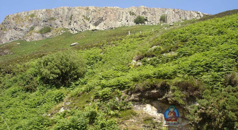
The image below is of one of a few
carved rock paintings along this shoreline.
The paintings depict the Buddha and several
Tibetan Buddhist icons.
There is also the St Molaise Cave &
Holy Spring along this coastline. The cave
has inscriptions thought to have been made
in 1263, when before the Battle of Largs,
the Norse king Haakon anchored his fleet in
Lamlash Bay. The Viking inscriptions may
have been made by sailors at that time.
|
|
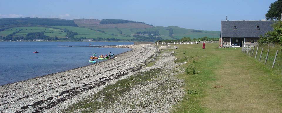
The image below is of the shoreline path
reaching the Boat House by the jetty. You
can have a complementary cup of tee or
coffee at the boathouse most days.
The kayaks here are from the Arran
Outdoor Education Centre that is based at
Lamlash. They offer a range of activities
on land and sea. Website.
Otters Tail
Kayaking is also based at Lamlash.
|
|
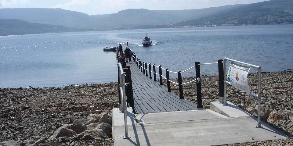
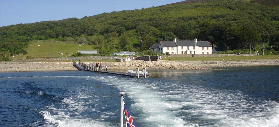
The image below is of the ferry arriving
at the Holy Isle. There are interesting
looking wild sheep around the jetty area.
These sheep look more like goats.
|
|
The image below is looking back from the
ferry to the Holy Isle.
|
|
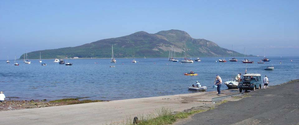
The image below is from the Lamlash pier
towards the Holy Isle.
The fishing boat next to the Land Rover
had just returned from a sea fishing
charter. They had caught a fair number of
mackerel. The fishing tours dont seem to be
operating now though.
|
|
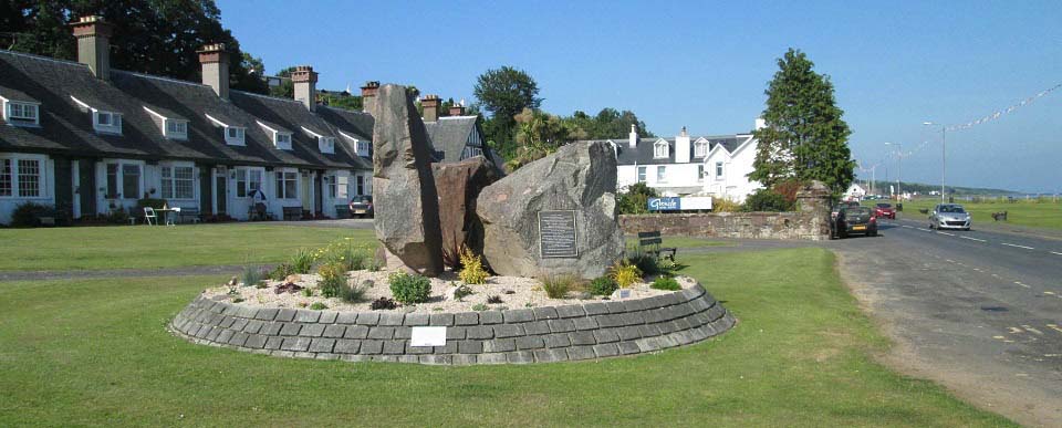
The image below was taken from the bus
stop just south of the Lamlash Pier, when
waiting on the bus back to Brodick for the
ferry to the mainland.
The monument here is in honour of locals
that emigrated to North America in the
1800s. The emigration took place after many
crofters on Arran were forced off their
land to make way for large scale sheep
farming.
The plaque reads:
Erected on behalf of Arran clearance
descendents across North America to their
brave forefathers who departed from their
beloved island home to Canada during the
clearance years 1829 to 1840.
Here at Lamlash on April 25th 1829 part
of the clearance (86 souls) when embarking
on the brig Caledonia (196 ton) the
Rev.A.Mackay preached from The Mound
(opposite) formed by the departing his text
"Casting all your care upon him: for he
careth for you" 1st Peter ch.5 v.7.
The Caledonia arrived at Quebec City
June 25th 1829. The group was the first of
more than 300 Arran colonists of Megantic
County, Province of Quebec. The largest
group, more than 400, had as their
destination the seaport town of Dalhousie,
New Brunswick to be pioneer settlers of the
Restigouche-Bay Chaleur District.
"Yet still the blood is strong, the
heart is highland". A chlann eilean mo
ghaoil bithibh dileas d'a cheile.
|
|
The hike over the Holy Isle had as good
a views as you will get anywhere in
Scotland. The hike was steep from both
sides, so you have to be fairly fit to do
the hill route.
If you are only looking for a fairly
easy, scenic walk, the trail round the
coast of the Island is ideal.
For more information on Arran and
Lamalsh, visit the Tour of
Arran Page.
|
|
|